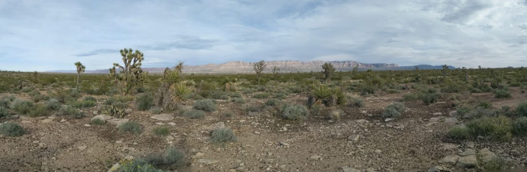
For my field mapping class this spring, we spent 2 weeks near Meadview, just south of where the Colorado River enters Lake Mead. We were mapping sections of Wheeler Ridge, a block that got faulted and rotated off the edge of the Colorado Plateau.


For my field mapping class this spring, we spent 2 weeks near Meadview, just south of where the Colorado River enters Lake Mead. We were mapping sections of Wheeler Ridge, a block that got faulted and rotated off the edge of the Colorado Plateau.