This August, I got to go on a 2.5-week trip to explore the Yukon Territory and Alaska with my department. The trip was absolutely incredible, and we got to see some of the most remote wilderness in the US.
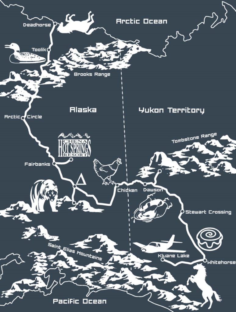
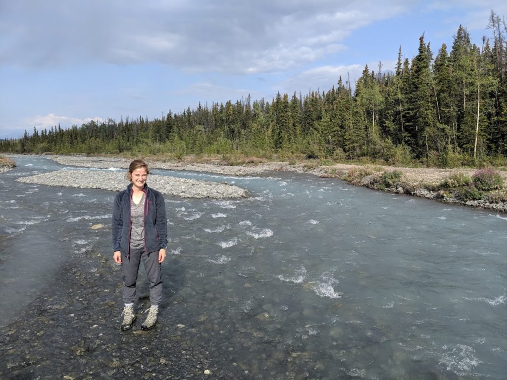
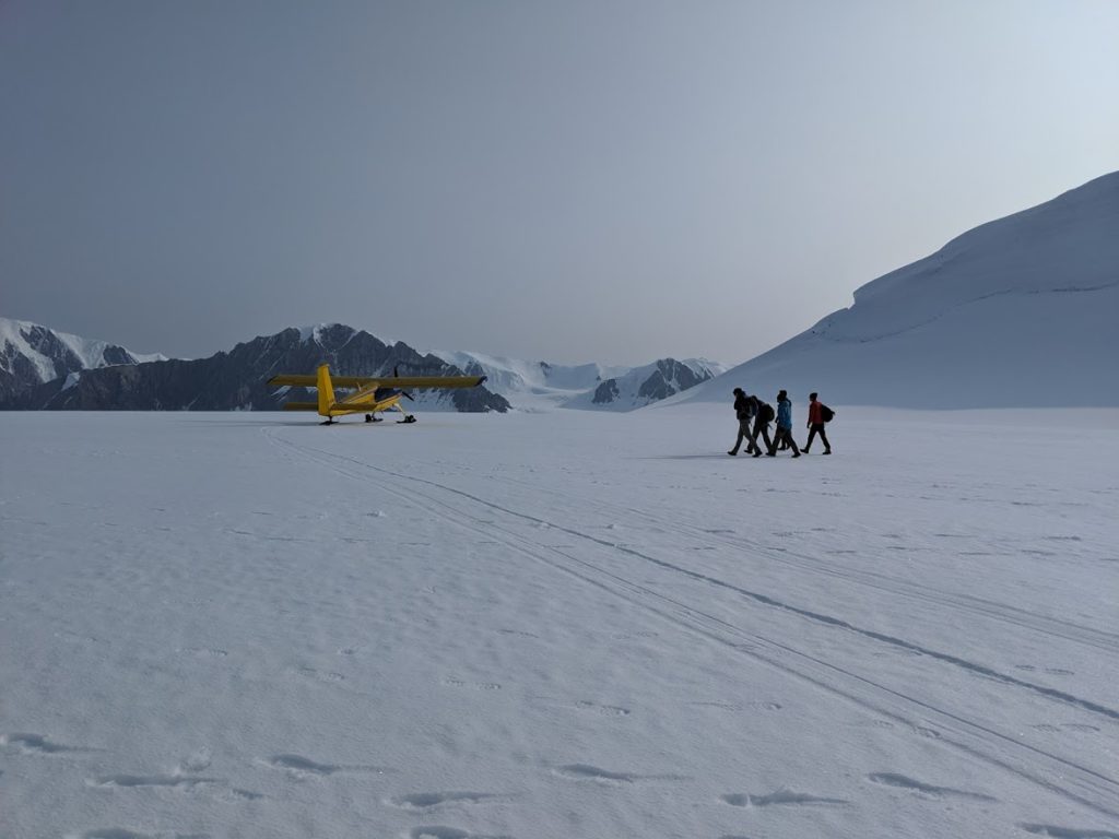
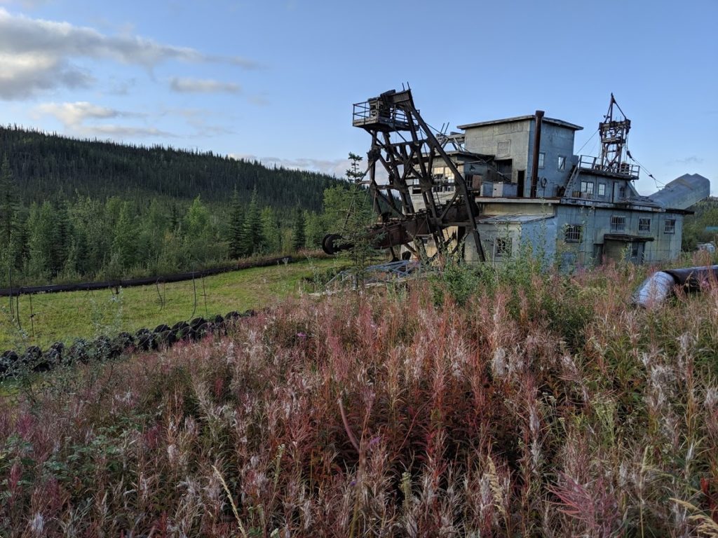
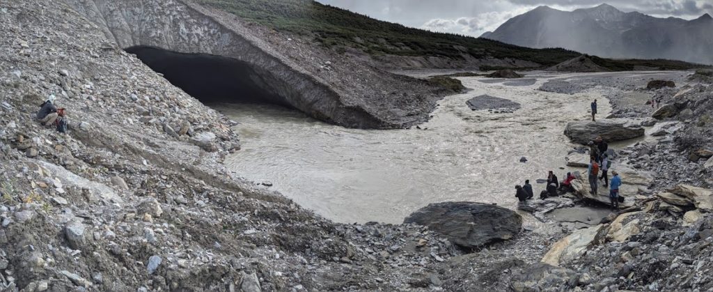
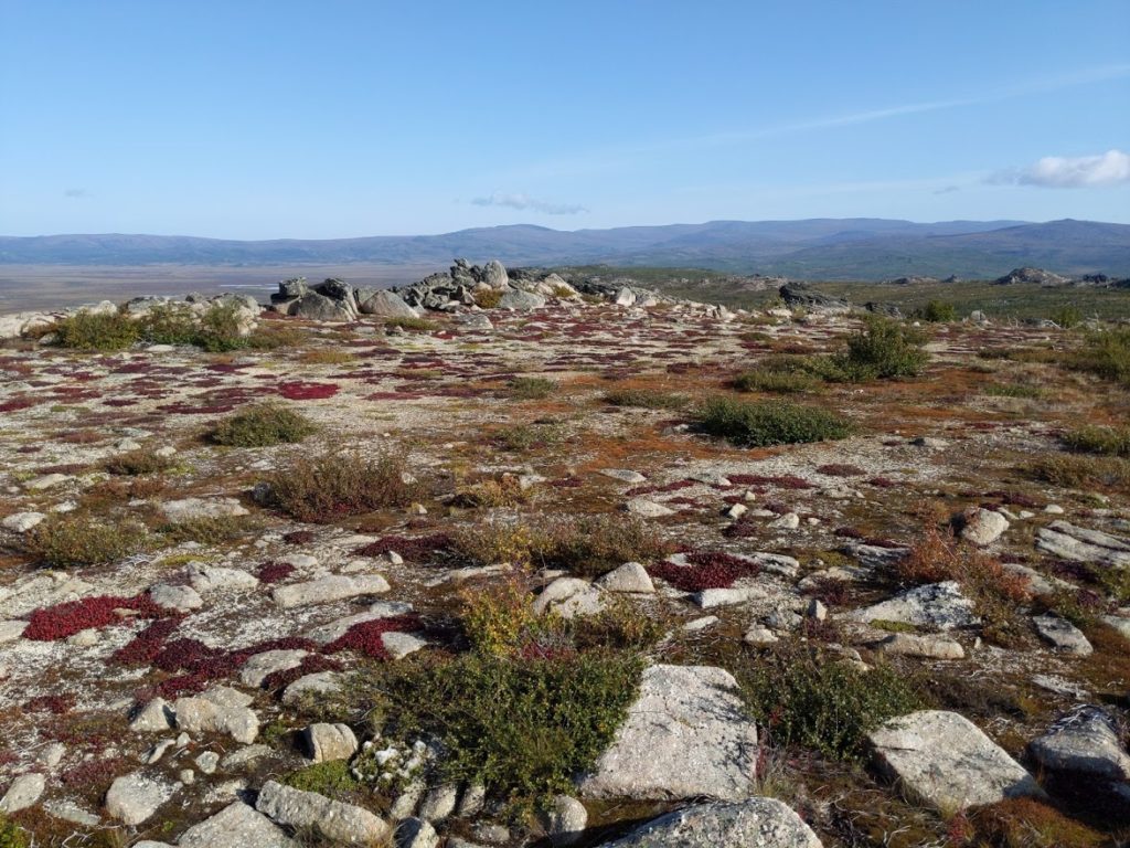
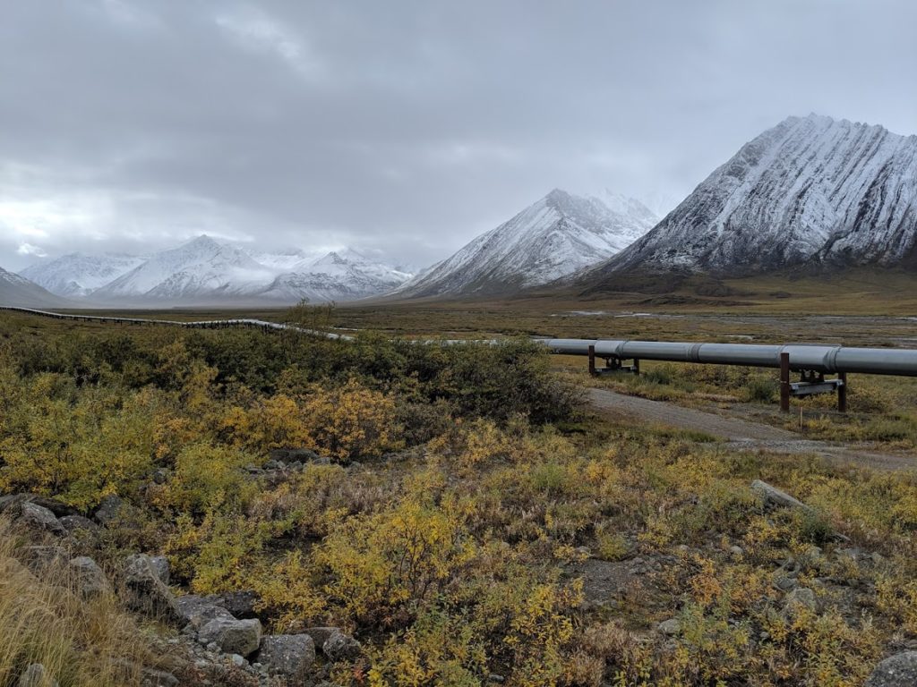
Trip route, starting in Whitehorse, Yukon Territory, driving up to Deadhorse, and flying back out of Fairbanks, Alaska. Graphic from the trip t-shirt, designed by Maddie Lewis.One of many gravel-bed rivers we crossed on the trip. One of the most interesting sights for me was all of the large, unmanaged rivers, particularly the Yukon!We flew over the Kluane icefield in propeller planes, and this photo was taken after we landed on a glacierA gold mining dredge outside Chicken, AK. These dredges are the size of houses, and would make their own lakes and conduct gold-panning on a large scale. Around towns like Dawson (where Jack London lived) they completely re-surfaced entire river floodplains.Hike to an ice cave at the end of a glacier in the Wrangell-St Elias rangeWe took the Dalton Highway above the Arctic Circle, and stopped to do some short hikes. On this walk past the tree line, we foraged for wild blueberries which we made into cobbler. The highway is a gravel trucking road that is mainly used by 18-wheelers hauling equipment to the Prudhoe Bay oil fields.The trans-Alaska pipeline was our constant companion on the Dalton, pictured here on the North Slope. It is raised above ground is permafrost areas, and extensively engineered to avoid damage by melting permafrost. It also crosses a major fault zone, where the pipeline sits on sliders so the ground can shift beneath it. In the background are some of the incredible geologic formations visible from the Dalton, covered in snow even in late August.