I had the pleasure of attending the USGS GMEG (Geology, Minerals, Energy, and Geophysics Division) trip to the Mojave Desert and lower Colorado River. The trip provided an overview of the ongoing Mojave and lower Colorado (LOCO) mapping projects. The Mojave mapping project was motivated by earthquakes occurring on unmapped faults in the 90s, as well as disparities between measured offsets on faults and GPS relative motion measurements within plates. Numerous small faults and deformed crustal blocks in southeastern CA, called the “Eastern California Shear Zone”, take up the same amount of displacement as the San Andreas and inform local earthquake hazards.

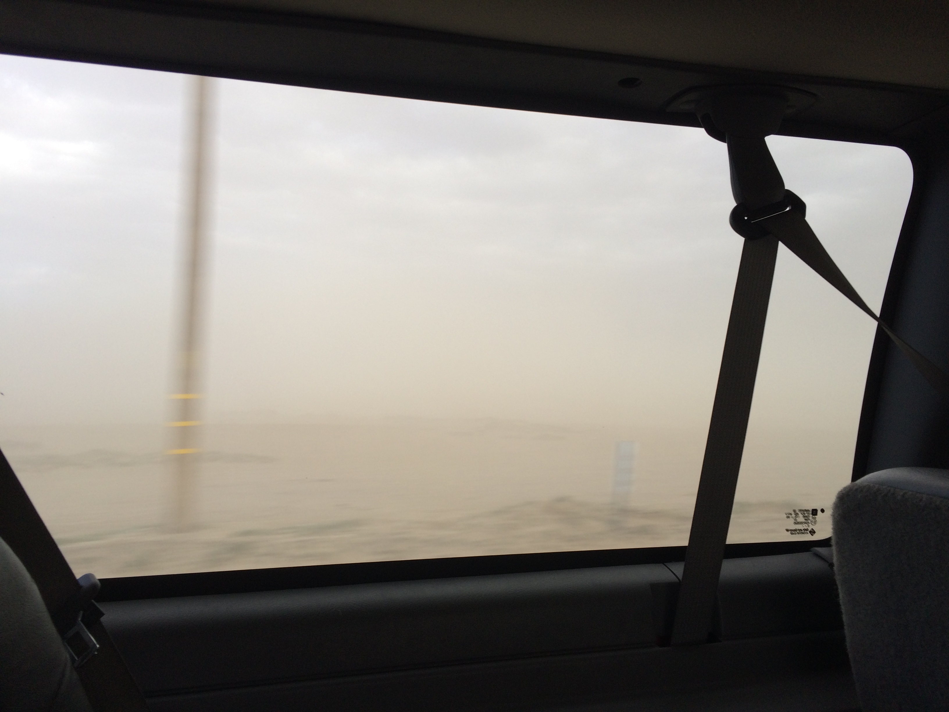
We also experienced extremely strong winds in the Mojave, causing a Dust Bowl-style white-out as we drove between sites.
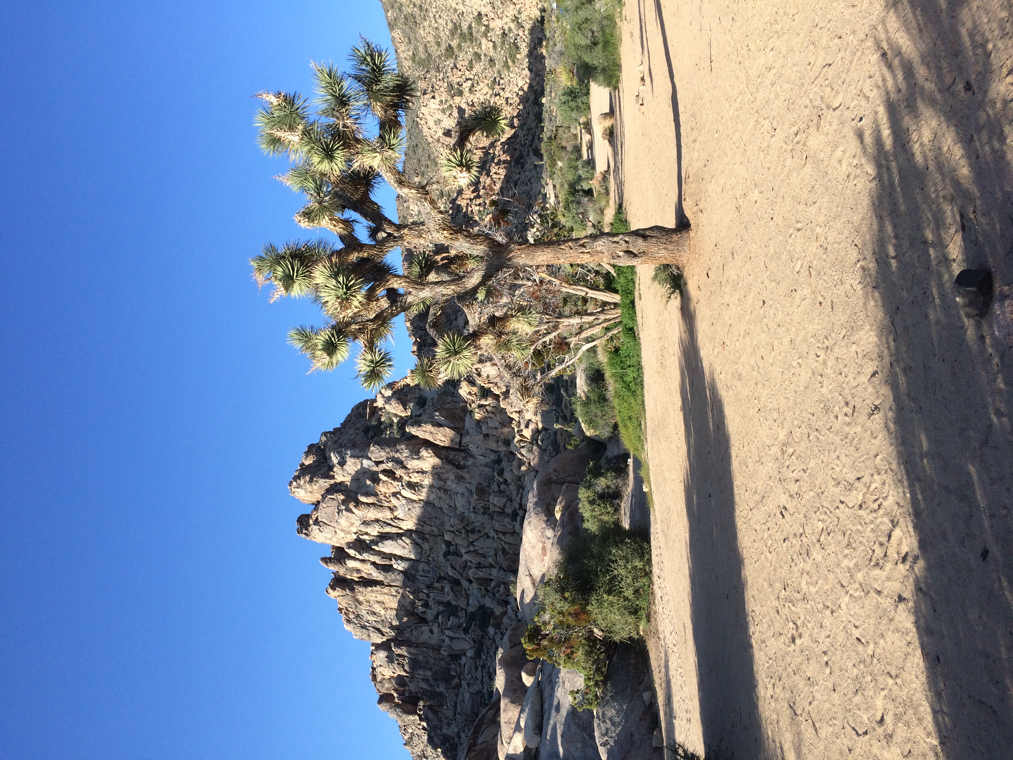
However, this past wet winter led to a profusion of blooming cacti and wildflowers, and the desert scenery proved to be gorgeous.


The lower Colorado River sedimentary deposits record a mixture of freshwater and marine species intermingled with multiple episodes of erosion and incision. The present network of canyons were formerly occupied by a string of lakes, and ongoing research attempts to determine how far northwards higher sea levels altered lake water chemistry.

Overall, the trip provided an opportunity to strengthen ties with my fellow USGS Menlo Park employees as well as meet USGS scientists based in Arizona, as well as some fabulous camping and geotourism!
